Photography

Concept Photoshoot: Message in a Bottle

In early 2019, I had the enjoyable experience of creating some portraits with Actress, Dancer, & Model Maecy Richardson.

After I spent $20 on way too many antique bottles earlier this summer, the idea came to me to do a photoshoot with them. Maecy and I had reconnected and the following images are the result:

What would you write?

message-bottle-4348.jpg
message-bottle-4296.jpg


2020 Seniors: Bethany and Justin

Every year, I have the pleasure of taking portraits for high school seniors. Over the course of the portrait session, I get to learn a little bit about their hopes, their hobbies, their dreams, and their upcoming college decisions. It’s an honor to see a bit of their world and personality!

Bethany_Senior_Ellicott_City_Conservancy.jpg

Bethany is an impressive gymnast, so we brought out the flash to capture some acrobatics after getting some portraits with the July flowers at the Howard County Conservancy.

Senior_Portraits_Howard_County_Conservancy_Gymnast

Over the Christmas break, I took portraits of Justin in historic Ellicott City. Having done portraits for his older sister some years ago, it was fun to catch up with the family and hear about his own hobbies and business plans.

senior-portrait-camaro-ellicott-city-2020.jpg

Justin brought his car as well as his fencing attire, so we were able to capture some unique portraits showcasing those parts of his life, as well as some casual portraits along Ellicott City main street!

ellicott-city-high-school-senior-portrait-2020.jpg

Contact me to book a senior session. For more information about what I offer, head to the Senior Portrait Freedom page!

Winter Storm Cycling in Killarney

Killarney National Park is massive.

Within its 26,000 acres, you’ll find the ruins of Muckross Abbey, old-growth forests, Torc Waterfall, Muckross House and Gardens, and a wide variety of rugged landscapes.

It’s an excellent place for a day’s cycle.

On a wild Saturday in February, I and my friend Kuba ended up joining Storm Ciara for a grand adventure.

6 AM at Limerick Junction.

6 AM at Limerick Junction.

We arrived by train, and found it to be fairly straightforward to bring our bicycles along with us. Iarnród Éireann allows bicycles on the train; sometimes in a car with a blue door and white bicycle emblem on smaller commuter trains, other times in a baggage car ahead of the first class cars on the longer trains. Train station employees were very helpful in directing me to the appropriate car (as well as leaving me know that cycling is not permitted on the platform!).

From the train station in Killarney, it is a quick cycle out of town along the N71, where a wide path accommodates cyclists, hikers, and horse-drawn carriages.

A Google Maps approximation of our route.

A Google Maps approximation of our route.

Our journey took us on a 20km circuit, first passing Muckross Abbey, a Franciscan Friary dating from the 1400s. It’s an incredible ruin, with many passages and staircases to explore, including a cloister with an incredible centuries-old yew tree at the centre.

Muckross Abbey from above.

Muckross Abbey from above.

Onwards along the path, we stopped at a beach near some rock formations jutting out into the lake. Here, there was much to explore, as waves lapped against razor-sharp and slippery rocks.

From there, we headed on to Dinis Cottage. It’s closed in the winter months but boasts some great tea and scones.

We stashed our bikes nearby and walked down to the old Weir bridge, enjoying the nearby forests and boglands blanketed by clouds and light rain. After that, it was back to collect our bikes and head on to Torc waterfall, which still managed to draw a busload or two of tourists despite the foul weather.

Looking out over Muckross Lake

Looking out over Muckross Lake

The last stop on our circuit was Muckross House. As we arrived, the wind began to howl louder, so we headed onwards, unwilling to be cast off our bicycles by strong winds! We arrived in town earlier than originally planned and thawed out with some O’Brien’s coffee upstairs in the Killarney Outlet Center. Then it was back on the train and off to Cork.

Despite the weather, it was an amazing few hours of exploration amidst some stunning scenery!

Torc Waterfall after February rains.

Torc Waterfall after February rains.

Quick Links

Irish Rail (Iarnród Éireann) - Bring your own bike!

Bus Éireann

Killarney Bicycle Hire - One of several options. We used our own bikes.

Killarney National Park website

Dinis Cottage FB Page


Hiking Benbulbin

“It would be fun to go hiking,” she said, and the wheels began to turn.

Where to go, previously unexplored, yet accessible by public transit?

The famous Benbulbin, overlooking Sligo Town, eventually came out as top choice for a January adventure. Plans were set and some of us arrived in Sligo from Athlone via Longford, others from Ennis via Galway.

From the Bus Éireann station in Sligo, we took the 64 towards Donegal. The driver was kind enough to drop us at the junction on the N15 from which we could walk up a quiet road to the Gortarowey Forest car park. Passing by evergreens and surprisingly large rabbits, overshadowed by Benbulbin’s cloud-draped ridge, we came to a fence at the far end of the forest. We climbed over and began to make our way towards the summit.

Heading towards the gully from the far corner of the Gortarowey Forest

Heading towards the gully from the far corner of the Gortarowey Forest

The maps I had found online indicated we could go straight to the top through a gully in the ridge, but as we approached the base of the rock face, still wet from the morning rain, we decided against it - without ropes, a single misstep could be disastrous.

Turning towards the northeast, beyond the ridge face, where the steep terrain grew even steeper and the sheep glared at us for interrupting their bucolic day, we continued upwards.

Despite the smooth, grassy, even terrain, even this part of the journey seemed increasingly dangerous. A misplaced step could lead to a long and painful roll many meters down the mountain slope.

This was intentional. No lads or sheep were harmed.

This was intentional. No lads or sheep were harmed.

Half of us made it up above the ridge, where the wind began to howl ferociously. Celebrating victory, we looked northeast towards Benwiskin, then turned back south to find Benbulbin’s summit. There, at 526 meters above sea level, we found a simple pillar, and took photographs.

Delighted to reach another summit!

Delighted to reach another summit!

We attempted to hide from the wind, sheltered by the bank of a crater in the bog, but the cold soon got the better of us. Abandoning plans to walk out along the plates to Ben Bulben’s western point, we began to make our way down the southwestern slope - the terrain more difficult, but far less steep than our ascent. For you future explorers - we recommend this route!

From the ridgeline looking towards Benwiskin

From the ridgeline looking towards Benwiskin

Following a stream, we came to a gap in the fence and found ourselves once again on a country road, passing farms and holiday homes. Rejoining the rest of our party, we decided to walk the ten kilometers back to Sligo, as no bus was due to pass through for another 2.5 hours.

Exhausted, we celebrated with pizza at Bistro Bianconi, happy to have had the adventure.


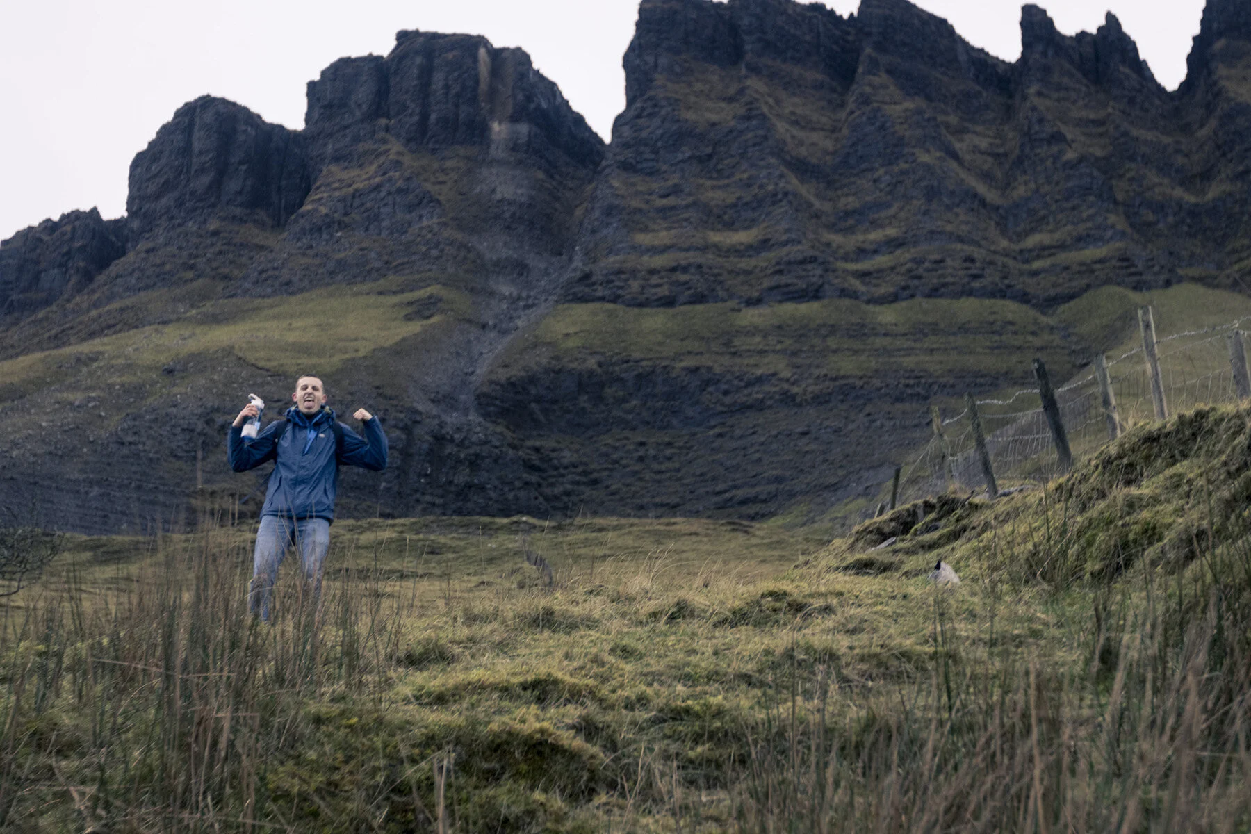
Planning your Hike to Benbulbin

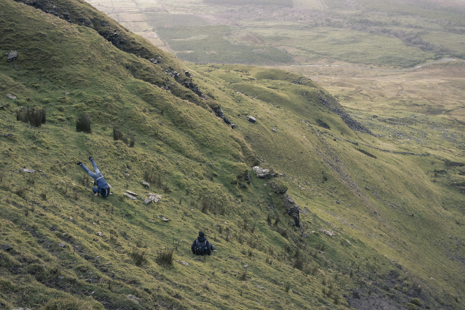
There are very few clear trails on the mountain, and you will likely have to make your own way, dodging sheep droppings and ankle-twisting holes hidden by bog grasses.

Wear sturdy waterproof shoes!

Budget approximately 4 to 5 hours to hike to the summit, wander the plateau, and return.

Bring lots of water and even an emergency blanket in case of hypothermia-inducing conditions.

It can be very windy, and weather can change quickly.

If taking public transit (Bus Eireann 64 towards Derry), ask the driver to drop you here. Check the schedule so you know when pickup will be! We discovered there are few buses during midday.

If driving, you can part at the Gortarowey Forest car park.

I suggest walking along the road to the gap in the fence and walking up along the stream as seen in the map below. This hill has the gentler ascent of the two, with no need for rock climbing gear.

1. Junction on the N15 for dropoff from Public Transit. 2. Gortarowey Forest Car Park. 3. Turn off the road here and follow a dirt road and then a stream up the mountain for the least steep ascent.

1. Junction on the N15 for dropoff from Public Transit. 2. Gortarowey Forest Car Park. 3. Turn off the road here and follow a dirt road and then a stream up the mountain for the least steep ascent.

Remember, it may be very windy on the plateau, and the weather changes fast! Bring appropriate wind and raingear.

Leave no trace: pack any rubbish with you back to town.

Enjoy your hike and the beautiful views!

Photographing on the southwestern slope, Sligo in the distance beneath the setting sun.

Photographing on the southwestern slope, Sligo in the distance beneath the setting sun.

See more of my Ireland photography at this link. Prints available for purchase!